Showing posts with label costa brava. Show all posts

Friday, January 31, 2020

L’Estartit

L’Estartit is a coastal town that belongs administratively to the municipality of Torroella de Montgrí, incorporated to a decentralized municipal entity. In 2009 it had a population of 3,571 inhabitants registered. Located south of the last hills of the Montgrí massif, it is a town that is inextricably linked to the Mediterranean Sea. It is just over a kilometre from the archipelago of the Medes Islands, recognized for its large quantity of submarine species of flora and fauna.
L’Estartit is geographically dominated by the Empordà plains and the last stretch of the Ter river: the Gola and Ter Petit wetlands which are due in a large part to the fine sand that forms the beaches of the Pals Bay. The fortified farms located between Torroella and L’Estartit (Torre Martina, Torre Gran, Mas Ral, Torre Quintaneta…) also stand out in this setting, many of them are visible from the road to GI-645. Equally dominant over the landscape is the sudden elevation of the Montgrí massif with the two nearby and distinguishable peaks of the Moratxa and Rocamaura Turrets. It is on top of this plateau that the abandoned LORAN base is located.
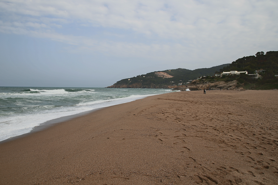
Begur city – a luxury tourist spot of Costa Brava resorts

Begur (cat. Begur) is a town and municipality of the Baix Empordà region and an important tourist centre of the Costa Brava (mainly 3-5 stars hotels). It limits to the south with Palafrugell, to the southwest with Regencós, to the west and north with Pals.
Also written as Bagur from the 14th century by the variation in the transcription of the neutral vowel, it is documented in the Middle Ages as Begurio, probably Latinized name of a Celtic Becuro.
The 21 km² municipality is very rugged: practically all of the territory is occupied by a set of hills called as a whole the Begur massif, with the summit of Son Rich at 323 m a. s. l. It is vertebrate around the castle of Begur with the town to the south (200 m a. s. l.), both located above a hill just north of Son Rich, 2.3 km from the Cap of Begur (formerly of ‘Aiguafreda’) to the east and 2.7 km from the Cap de sa Sal to the northeast.
The town is the administrative centre of the municipality and concentrates 2.724 of the 4,258 registered Begur inhabitants (2009).
On the northwest side of the hill of the town, there is a quarry still in use and an interior dune called sorres de Begur (cat. sands of Begur) that extends to the fortified farmhouse of Ses Garrites, near the farmhouses of Pals, where the Empordà plain begins, an alluvial plain created by the delta of river Ter. To the northeast of the hill, the valley of Sa Riera separates the coastal heads from the interior, ending at the beach of Sa Riera, which is the largest and most touristic one of the municipality, flanked to the north by the Cala de la Illa Roja and the beach of El Racó, along with the beach of Pals.