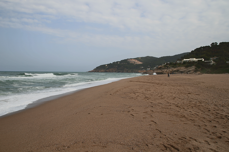
Begur (cat. Begur) is a town and municipality of the Baix Empordà region and an important tourist centre of the Costa Brava (mainly 3-5 stars hotels). It limits to the south with Palafrugell, to the southwest with Regencós, to the west and north with Pals.
Also written as Bagur from the 14th century by the variation in the transcription of the neutral vowel, it is documented in the Middle Ages as Begurio, probably Latinized name of a Celtic Becuro.
The 21 km² municipality is very rugged: practically all of the territory is occupied by a set of hills called as a whole the Begur massif, with the summit of Son Rich at 323 m a. s. l. It is vertebrate around the castle of Begur with the town to the south (200 m a. s. l.), both located above a hill just north of Son Rich, 2.3 km from the Cap of Begur (formerly of ‘Aiguafreda’) to the east and 2.7 km from the Cap de sa Sal to the northeast.
The town is the administrative centre of the municipality and concentrates 2.724 of the 4,258 registered Begur inhabitants (2009).
On the northwest side of the hill of the town, there is a quarry still in use and an interior dune called sorres de Begur (cat. sands of Begur) that extends to the fortified farmhouse of Ses Garrites, near the farmhouses of Pals, where the Empordà plain begins, an alluvial plain created by the delta of river Ter. To the northeast of the hill, the valley of Sa Riera separates the coastal heads from the interior, ending at the beach of Sa Riera, which is the largest and most touristic one of the municipality, flanked to the north by the Cala de la Illa Roja and the beach of El Racó, along with the beach of Pals.

No comments:
Post a Comment